
Fichier:Proposed states and territories of India.png
Taille de cet aperçu : 569 × 600 pixels. Autres résolutions : 228 × 240 pixels | 455 × 480 pixels | 728 × 768 pixels | 971 × 1 024 pixels | 1 456 × 1 535 pixels.
Fichier d’origine (1 456 × 1 535 pixels, taille du fichier : 332 kio, type MIME : image/png)
Ce fichier et sa description proviennent de Wikimedia Commons.

|
Une version vectorielle de cette image existe, dans le format « SVG ». Si elle n’est pas inférieure, elle devrait être utilisée à la place de la présente version pour des affichages en plus grandes dimensions ou nécessitant une meilleure résolution.
File:Proposed states and territories of India.png → File:Proposed states and union territories of India.svg
Pour plus d’informations sur les images vectorielles, consultez la page de transition de Commons vers le format SVG. Voir aussi les informations à propos de la manière dont le logiciel MediaWiki gère les images au format SVG. |
 |
| Description |
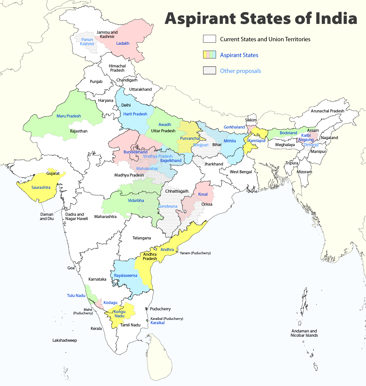
Deutsch: Indiens Anwärterstaaten
English: Aspirant States of India |
| Date | |
| Source | Travail personnel |
| Auteur | Maximilian Dörrbecker (Chumwa) |
| Autorisation (Réutilisation de ce fichier) |
Moi, en tant que détenteur des droits d’auteur sur cette œuvre, je la publie sous la licence suivante : Ce fichier est disponible selon les termes de la licence Creative Commons Attribution – Partage dans les Mêmes Conditions 2.5 Générique
Sie dürfen das Bild zu den folgenden Bedingungen nutzen:
|
| Autres versions |
|

Historique du fichier
Cliquer sur une date et heure pour voir le fichier tel qu'il était à ce moment-là.
| Date et heure | Vignette | Dimensions | Utilisateur | Commentaire | |
|---|---|---|---|---|---|
| actuel | 2 août 2020 à 11:06 | | 1 456 × 1 535 (332 kio) | Chumwa | Reverted to version as of 21:03, 29 August 2018 (UTC) |
| 30 juillet 2020 à 22:03 |  | 1 456 × 1 535 (316 kio) | UT'sIndia | Reverted to version as of 15:15, 17 May 2013 (UTC) | |
| 29 août 2018 à 23:03 |  | 1 456 × 1 535 (332 kio) | Chumwa | extended Tulu Nadu into Kerala | |
| 5 juin 2014 à 23:52 |  | 1 456 × 1 535 (332 kio) | Chumwa | borders of Rayalseema corrected | |
| 3 juin 2014 à 20:23 |  | 1 456 × 1 535 (332 kio) | Chumwa | borders of Mithila corrected | |
| 3 juin 2014 à 19:53 |  | 1 456 × 1 535 (331 kio) | Chumwa | Telangana now is an official state | |
| 17 mai 2013 à 17:16 |  | 1 456 × 1 535 (316 kio) | Cromium | Removed large title; enlarged map key with slightly different wording | |
| 17 mai 2013 à 17:15 |  | 1 456 × 1 535 (316 kio) | Cromium | Removed large title; enlarged map key with slightly different wording | |
| 3 janvier 2012 à 00:32 |  | 1 456 × 1 535 (312 kio) | Chumwa | added some other aspirant states | |
| 2 janvier 2012 à 23:16 |  | 1 456 × 1 535 (292 kio) | Chumwa | added a map key |
Utilisation du fichier
Les 3 pages suivantes utilisent ce fichier :
Usage global du fichier
Les autres wikis suivants utilisent ce fichier :
- Utilisation sur bn.wikipedia.org
- Utilisation sur de.wikipedia.org
- Utilisation sur en.wikipedia.org
- Delhi
- Gondwana (India)
- Kodagu district
- Mithila (proposed Indian state)
- Awadh
- Vidarbha
- Bundelkhand
- Bagelkhand
- Tulu Nadu
- Rayalaseema
- Purvanchal
- Bodoland Territorial Region
- Karbi Anglong district
- Mahakoshal
- Kongu Nadu
- Cooch Behar district
- Gird, India
- Mara Autonomous District Council
- Tripura Tribal Areas Autonomous District Council
- Malabar District
- Gorkhaland movement
- Kamtapur
- Proposed states and union territories of India
- Autonomous administrative divisions of India
- Karaikal district
- Panun Kashmir
- Chakma Autonomous District Council
- Lai Autonomous District Council
- Khasi Hills Autonomous District Council
- Jaintia Hills Autonomous District Council
- Garo Hills Autonomous District Council
- Template:Proposed states and union territories of India
- Tulu Nadu state movement
- Kosal state movement
- User:AbhisheksinghWIKI/Law and Order(India)
- Gorkhaland Territorial Administration
- Tipraland
- Kalyana-Karnataka
- Sadar Hills
- West Karbi Anglong district
Voir davantage sur l’utilisation globale de ce fichier.